Home
Search for Books
How to order
Your orders
Customer Comments
Join our mailing list
About
Bookbinding
Search for Books
How to order
Your orders
Customer Comments
Join our mailing list
About
Bookbinding

IBAN:
GB74 BUKB 2017 9210 0341 93
SWIFTBIC:BUKBGB22
GB74 BUKB 2017 9210 0341 93
SWIFTBIC:BUKBGB22
'Wrapro' card boxes which we use for packaging are produced and made from 100% recyclable material
The protective bubble wrap bags we use for packaging are made from 100% Oxo-Biodegradable starch
Little Stour Books was established in 1996
by Colin Button.
© Little Stour Books 2022
BRITISH IMPERIAL EMPIRE
Showing author names starting with -
Unity National and Imperial [Signed]
Leake, H. Martin [Preface by Sir Edward Grigg](Book #ID 804)
Published by Allen & Unwin, London First edition 1935. 1935.
First edition hard back. SIGNED by the author and dated 1960 presentation copy to the front end paper. Light foxing to page edges. Very Good in near Fine dust wrapper with light tanning to spine. Dust wrapper protected. Member of the P.B.F.A.
Click here to select books from the
BRITISH IMPERIAL EMPIRE Category
£45.00
British History: A Survey of the History of all the British Peoples. Two Parts: Part I The Peoples of the Islands [to 1485]. Part II Empire and Liberty [1485-1714] [Two Volumes]
Muir, Ramsay(Book #ID 13609)
George Philip and Son, Ltd, 32 Fleet Street, London 1929. Two Volumes. 1929.
Uniform matching hard back publisher's original green cloth covers, black lettering to spines and front covers. 8vo 8" x 5½" x, x, 358 [pp] continuous pagination. Twenty-three maps and plans. Former name to front end papers. Both in Very Good condition, no dust wrappers. Member of the P.B.F.A.
Click here to select books from the
BRITISH IMPERIAL EMPIRE Category
£22.00
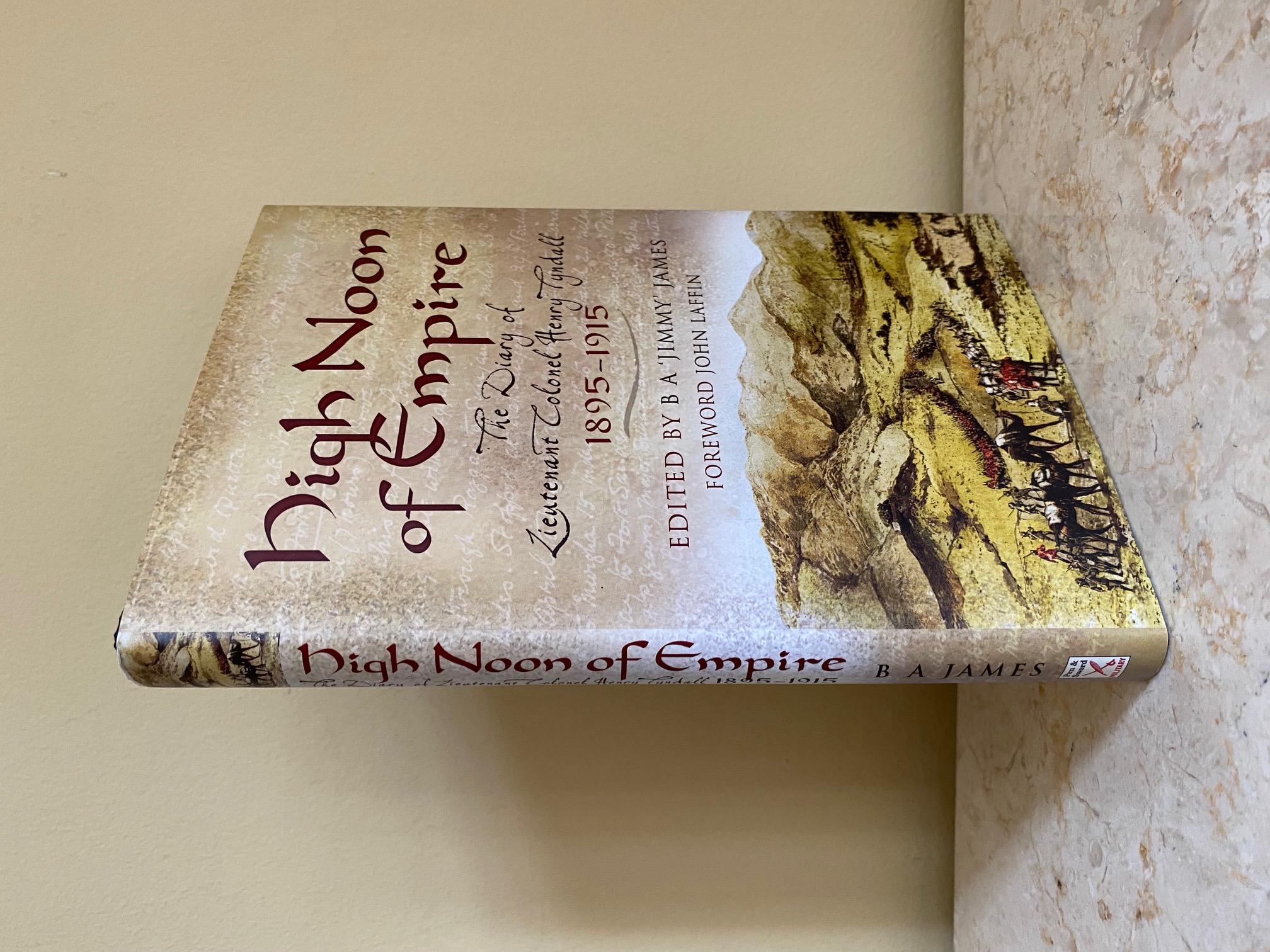
High Noon of Empire | The Diary of Lieutenant Colonel Henry Tyndall 1895-1915
Tyndal, Henry [Edited by B. A. 'Jimmy' James | Foreword by John Laffin](Book #ID 111558)
Published by Pen and Sword Books Ltd., Military, 47 Church Street, Barnsley, South Yorkshire First Edition 2007. 2007.
First edition hard back binding in publisher's original black paper covered boards, blocked and lettered gilt back. 8vo. 9½'' x 6¼''. Contains [xiv], 3 maps, 190 pp. Donation copy directly from the publisher to Kent Arts Archive Library, Canterbury, Kent. This has been stored in the trust's archive and has not been circulated as a lending book with label removed and small smudged stamp to the front free end paper. Very Good condition book in Fine condition dust wrapper, not price clipped, £19.99. Member of the P.B.F.A.
Click here to select books from the
BRITISH IMPERIAL EMPIRE Category
£11.00
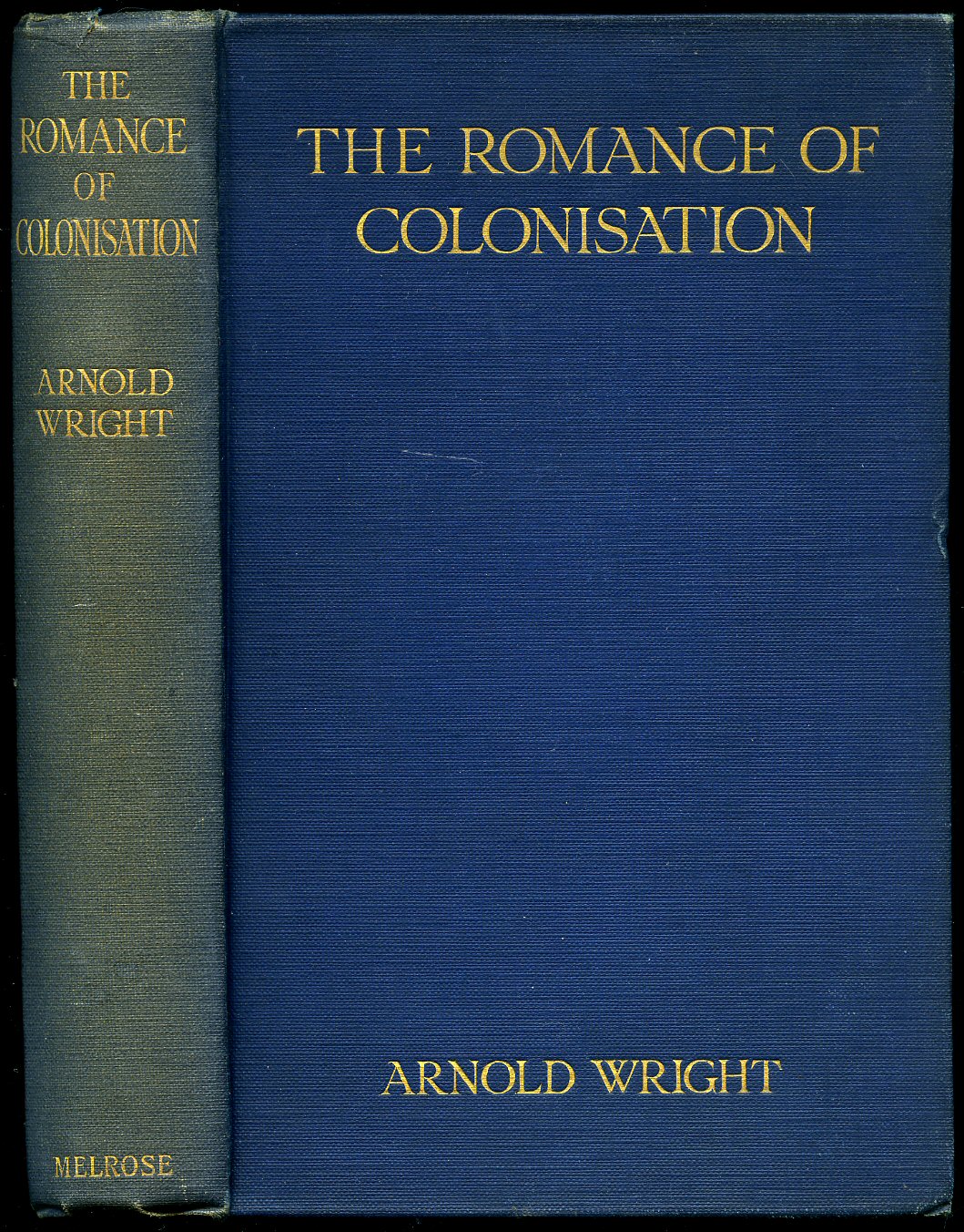
The Romance of Colonisation
Wright, Arnold(Book #ID 93554)
Published by Andrew Melrose Ltd., London and New York First Edition 1923. 1923.
First edition hard back binding in publisher's original navy blue cloth covers, gilt title and author lettering to the spine and front cover. 8vo. 8½'' x 6''. Contains 388 printed pages of text. Sun fading to the blue of the spine, spine ends turned-in with shallow rubs and in Very Good condition, no dust wrapper. Member of the P.B.F.A.
Click here to select books from the
BRITISH IMPERIAL EMPIRE Category
£20.00
Empirical Democratic Theory
Cnudde, Charles F. and Neubauer, Deane E.(Book #ID 17224)
Markham Publishing Company, Chicago First edition 1969. 1969.
First edition hard back binding in publisher's original black cloth covers, silver lettering to spine and upper panel. 8vo 9½" x 6¼" viii, 534 [pp]. Dusty top edge. Very Good in Very Good dust wrapper with fading to spine. Dust wrapper supplied in archival acetate film protection. Member of the P.B.F.A.
Click here to select books from the
BRITISH IMPERIAL EMPIRE Category
£17.50
Studies in Mid-Victorian Imperialism
Bodelsen, C. A.(Book #ID 21763)
Published by William Heinemann Limited, London 1960 reprinted edition [First edition 1924]. 1960.
Hard back binding in publisher's original royal blue cloth covers, gilt lettering to spine. 8vo 9" x 6" 226 pp. Ex Cambridge College Library with two indigo stamps to end papers. Not over issued and in Very Good clean and fresh condition, no dust wrapper. Member of the P.B.F.A.
Click here to select books from the
BRITISH IMPERIAL EMPIRE Category
£9.00
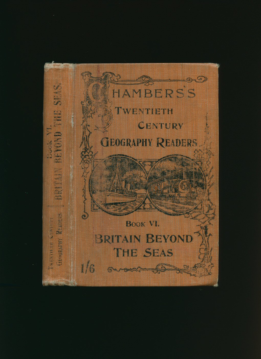
Britain Beyond The Seas: Book VI [Chambers's Twentieth Century Geography Readers]
(Book #ID 75377)
Published by W. & R. Chambers, Limited, 38 Soho Square, London circa 1945. London circa 1945.
Hard back binding in publisher's original tan cloth covers, black title and author lettering to the spine and to the front cover with black illustrations. 8vo. 7½'' x 5¼''. Contains 287 printed pages of text with colour and monochrome maps and photographs throughout. Rubs to the softened spine ends and corners, some of the stitching loose towards the rear and in Good condition, no dust wrapper. Member of the P.B.F.A.
Click here to select books from the
BRITISH IMPERIAL EMPIRE Category
£11.00
Tales From The Dark Continent | Images of British Colonial Africa in the Twentieth Century
Allen, Charles with Helen Fry [Introduction by Anthony Kirk-Greene](Book #ID 118135)
Published by Andre Deutsch Ltd., 105 Great Russell Street, London First Edition 1979. 1979.
First edition hard back binding in publisher's original chocolate paper covers, gilt title and author lettering to the spine and to the upper panel, old sepia advertisements to the lining papers. 8vo. 9½'' x 6¼''. Contains [xvii] 166 pp with monochrome illustrations and photographs throughout. Near Fine condition book in near Fine condition price clipped photographic dust wrapper with minimal creasing to the spine ends. Member of the P.B.F.A.
Click here to select books from the
BRITISH IMPERIAL EMPIRE Category
£9.00
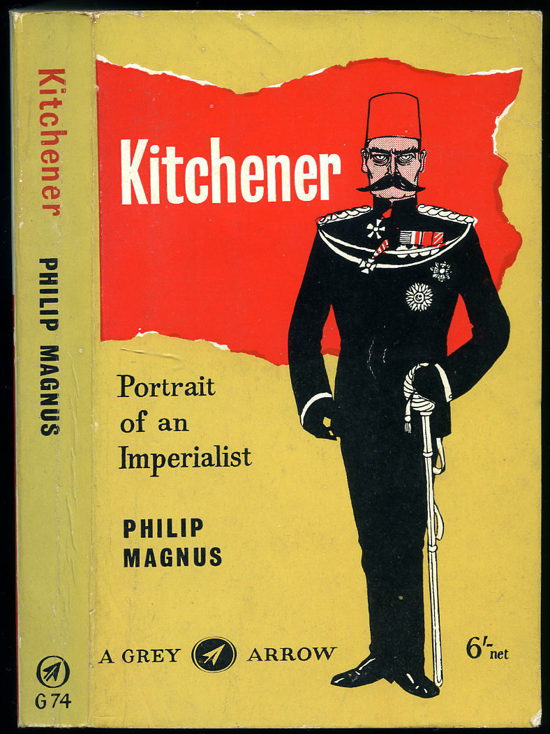
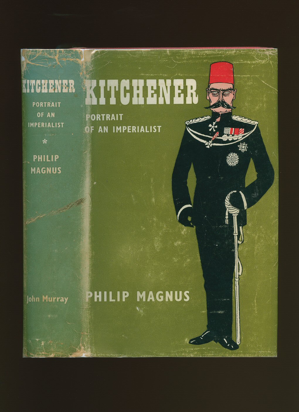
Kitchener | Portrait of an Imperialist
Magnus, Philip [Field Marshal Horatio Herbert Kitchener, 1st Earl Kitchener, KG, KP, GCB, OM, GCSI, GCMG, GCIE, PC (24 June 1850 - 5 June 1916) was a senior British Army officer and colonial administrator who won notoriety for his imperial campaigns].(Book #ID 26849)
Published by William Heinemann Limited, London First Edition 1958. 1958.
First edition hard back binding in publisher's original scarlet cloth covers, gilt lettering to the spine. 8vo 9½'' x 6¼'' 410 pp. Monochrome illustrations throughout. Very Good condition book in Very Good condition Osbert Lancaster illustrated dust wrapper with crease lines to corners and edges, spine slightly faded, not price clipped 30s. Dust wrapper supplied in archive acetate film protection, this is not adhered to the book or to the dust wrapper and can easily be removed should you so wish. Member of the P.B.F.A.
Click here to select books from the
BRITISH IMPERIAL EMPIRE Category
£11.00
The General Gazetteer; or, Compendious Geographical Dictionary Containing a Description of the Empires, Kingdoms, States, Provinces, Cities, Towns, Forts, Seas, Harbours, Rivers, Lakes, Mountains, Capes in the Known World [1]
Brookes, R.(Book #ID 30252)
Printed London for F. C. and J. Rivington et al., Fifteenth Edition 1812 With Considerable Additions and Improvements. 1812.
Contemporary full calf covers, gilt lettering to the spine, re-backed spine with new marble paper end papers. Thick 8vo 9'' x 6''. Eight fold-out monochrome maps as called for: North America; South America, Africa, Asia, Europe, West Indies, East Indies, and World map. Age toning to the maps, damp line to World map, boards slightly sprung, binding firm and square. Member of the P.B.F.A.
Click here to select books from the
BRITISH IMPERIAL EMPIRE Category
£95.00
The General Gazetteer; or, Compendious Geographical Dictionary Containing a Description of the Empires, Kingdoms, States, Provinces, Cities, Towns, Forts, Seas, Harbours, Rivers, Lakes, Mountains, Capes in the Known World; with The Government, Customs, Manners, and Religion of the Inhabitants [2]
Brookes, R.(Book #ID 30253)
Printed London for B. Law and Son et al., Eighth Edition 1794. 1794.
Contemporary full calf covers. Thick 8vo 9'' x 6''. 8½ fold-out hand-coloured maps: North America, South America, Asia, Germany, Hindostan or India, West Indies, Netherlands, Russia [½], Switzerland, no Europe of frontispiece, plus The Armillary Sphere to a single sheet. Damp line to inner front gutter and to the top of the early pages, couple of maps with tears to edges and crease lines. Scarce early colour maps especially Hindostan. Member of the P.B.F.A.
Click here to select books from the
BRITISH IMPERIAL EMPIRE Category
£225.00
Imperial Policing
Gwynn, Major-General Sir Charles W.(Book #ID 78983)
Published by Macmillan & Co. Ltd., St. Martin's Street, London Second Edition 1939. London 1939.
Second edition hard back binding in publisher's original coral cloth covers, gilt title and author lettering to the spine. 8vo. 9'' x 6''. Contains 417 printed pages of text. Mottling to the cloth of the spine, spine ends and corners soft, foxing to the page edges, age tanning to the end papers and in Good condition, no dust wrapper. Member of the P.B.F.A.
Click here to select books from the
BRITISH IMPERIAL EMPIRE Category
£75.00
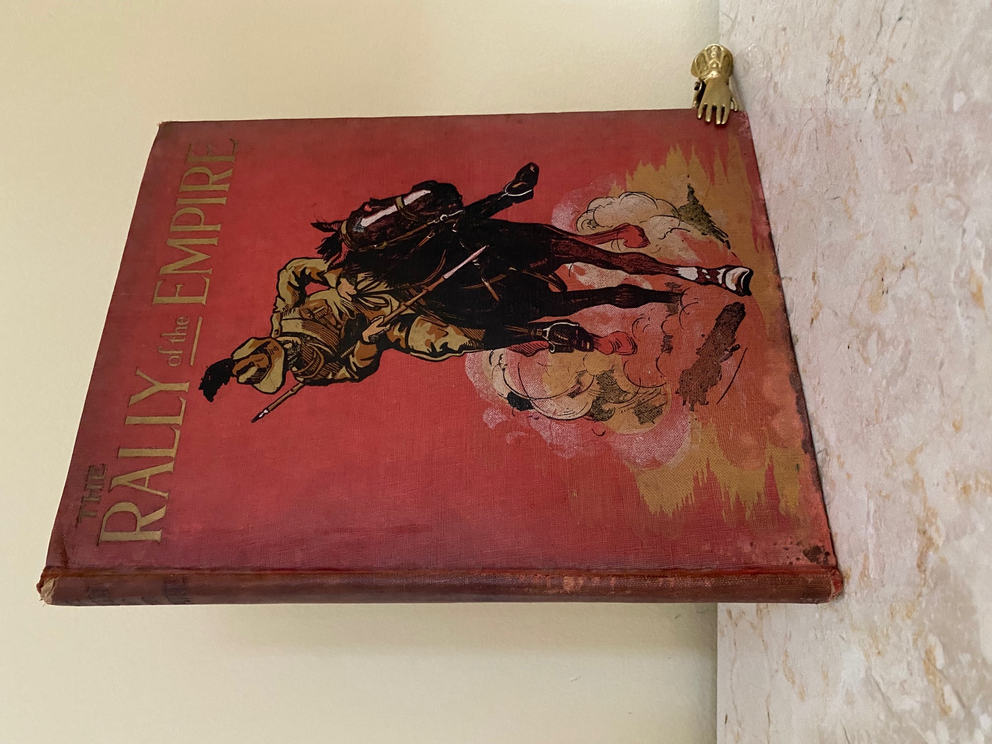
The Rally of the Empire Containing No. 1: Our Fighting Forces India's Fighting Troops (Saint Nihal Singh); No. 2: Our Fighting Forces Canada's Fighting Troops (Roger Pocock); No. 3: Our Fighting Forces Australia and South Africa (A. B. Cooper); No. 4: Our Fighting Forces Famous Scottish Regiments (Edgar Wallace)
Singh, Saint Nihal | Roger Pocock | A. B. Cooper | Edgar Wallace(Book #ID 113848)
Published by George Newnes Ltd., Tower House, 8-11 Southampton Street, Strand, London circa 1915. 1915.
Hard back binding in publisher's original brick red over printed cloth covered boards, blocked and lettered gilt back and front. 4to. 11'' x 8¼''. Contains (xvi), 30, 32, 30, 30 pp with many archive monochrome photographs throughout the four parts. Rubbing of the cloth the spine ends and corners, thin ink stain along the bottom edge of the front cover, contents not affected. Member of the P.B.F.A.
Click here to select books from the
BRITISH IMPERIAL EMPIRE Category
£50.00
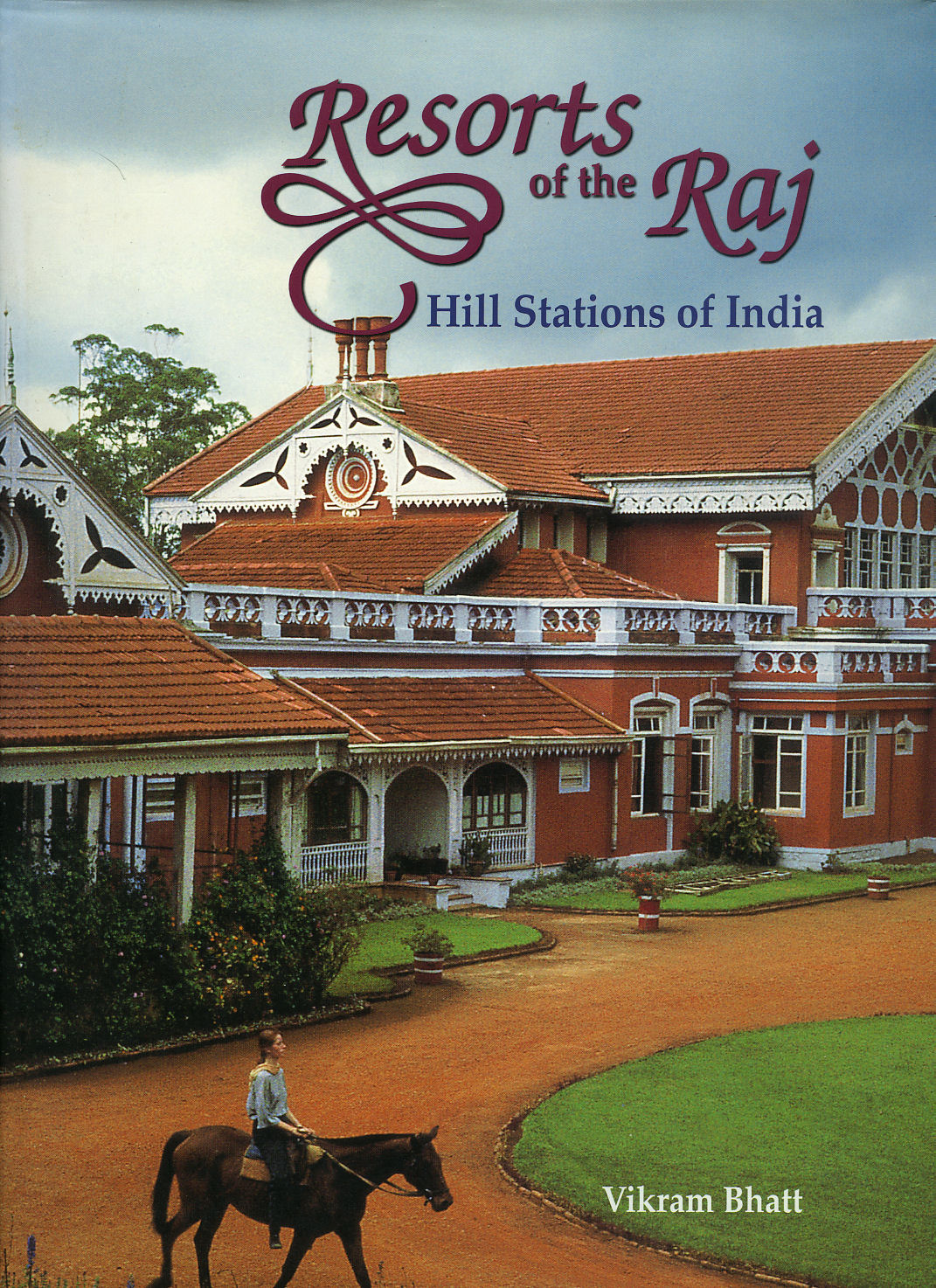
Resorts of the Raj | Hill Stations of India
Bhatt, Vikram(Book #ID 96300)
Published by Mapin Publishing Ahmedsbad, First Edition 1998. 1998.
First edition hard back binding in publisher's original powder blue covers, gilt title and author lettering to the spine. Folio 12½'' x 9¼''. Contains 192 printed pages of text with archive monochrome illustrations and photographs, maps and colour photographs throughout. Fine condition book in Fine condition dust wrapper. Member of the P.B.F.A. ISBN 0944142982
Click here to select books from the
BRITISH IMPERIAL EMPIRE Category
£45.00
British Social Life in India, 1608-1937 [Signed]
Kincaid, Dennis [Introduction by James Lunt] Illustrated by Frank Wilson(Book #ID 41957)
Published by Routledge & Kegan Paul, Limited, Broadway House, 68-74 Carter Lane, London Second Edition 1973. London 1973.
Hard back binding in publisher's original russet cloth covers, gilt lettering to the spine. 8vo 9'' x 6'' xxii, 345 [pp]. ISBN 0710072848. Monochrome illustrations throughout. Printing fault tear to the foot of page 225, free from inscription. Very Good condition book, in Very Good condition dust wrapper with minor crease lines to the spine tips and front cover, not price clipped. SIGNED by James Lunt and 'dated 14th January 1973 Wendham? College.' Dust wrapper supplied in archive acetate film protection, this protects and prolongs the life of the paper, it is not adhered to the book or to the dust wrapper. Member of the P.B.F.A.
Click here to select books from the
BRITISH IMPERIAL EMPIRE Category
£22.50
Empire to Welfare State; English History 1906-1985 [Third Edition]
Lloyd, T. O.(Book #ID 37885)
Published by Oxford University Press, Oxford Third Edition 1989. Oxford 1989.
Publisher's original laminated card covers. 8vo 9'' x 6'' 558 pp ISBN 0198221347. In Fine condition, unopened new book, no dust wrapper as published. Member of the P.B.F.A.
Click here to select books from the
BRITISH IMPERIAL EMPIRE Category
£12.50
Thoughts on Imperial and Social Subjects [Signed]
Meath, The Right. Hon. The Earl & the Countess of(Book #ID 38402)
Published by Wells Gardner, Darton & Co. Ltd., 3 Paternoster Buildings, London First Edition 1906. London 1906.
First edition hard back binding in publisher's original Wedgwood blue cloth covers, gilt lettering and two twin parallel black lines to the spine and the upper panel. 8vo 7½'' x 5¼'' xii, 290 [pp]. Free from inscription, small snagging of the cloth to the foot of the spine, corners just turned-in, very slight rubbing to the upper spine edge, without any foxing and in Very Good clean condition. SIGNED dedication to the half-title page 'To Nurse Oakley, In remembrance of a first to Ottershard? Meath, July 30th 1917.' Member of the P.B.F.A.
Click here to select books from the
BRITISH IMPERIAL EMPIRE Category
£35.00
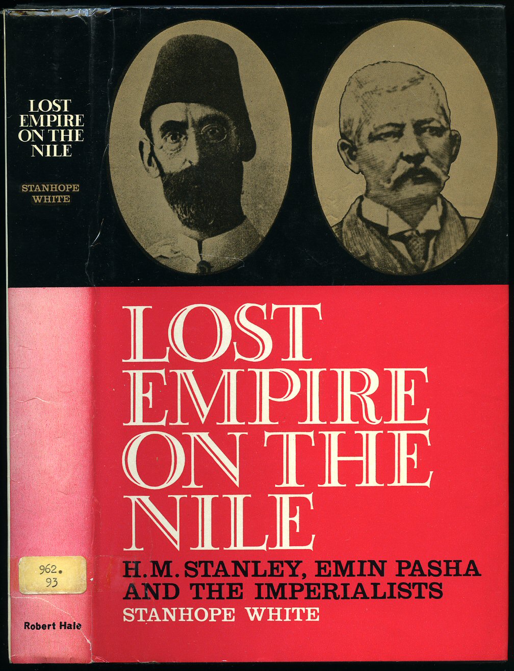
Lost Empire on the Nile; H. M. Stanley, Emin Pasha and the Imperialists
White, Stanhope(Book #ID 37846)
Published by Robert Hale Ltd., 18 Bedford Square, London First Edition 1969. London 1969.
First edition hard back binding in publisher's original black cloth covers, gilt lettering to the spine. 8vo 9'' x 6'' 288 pp ISBN 709105355. Monochrome illustrations throughout. Ex-library with usual stamps in Very Good condition dust wrapper with slight fading to the spine, not price clipped 35/-. Dust wrapper supplied in archive acetate film protection, this protects and prolongs the life of the paper, it is not adhered to the book or to the dust wrapper. Member of the P.B.F.A.
Click here to select books from the
BRITISH IMPERIAL EMPIRE Category
£11.00
Captives; Britain, Empire and the World 1600-1850
Colley, Linda(Book #ID 39907)
Published by Jonathan Cape 30 Bedford Square London First Edition 2002. London 2002.
First edition hard back binding in publisher's original black cloth covers, gilt lettering to the spine. 8vo 9½'' x 6¼'' 438 pp ISBN 0224059254. Monochrome illustrations throughout. Fine condition book, in Fine condition dust wrapper, not price clipped. Dust wrapper supplied in archive acetate film protection, this protects and prolongs the life of the paper, it is not adhered to the book or to the dust wrapper. Member of the P.B.F.A.
Click here to select books from the
BRITISH IMPERIAL EMPIRE Category
£14.00
Evolution and Empire [Signed]
Graham, John W.(Book #ID 41311)
Published by Headley Brothers, 14 Bishopsgate Street Without, London First Edition 1912. London 1912.
First edition hard back binding in publisher's original green cloth covers, gilt lettering to the spine and the upper panel. 8vo 7½'' x 5¼'' 222, ii [pp]. Extensive notes to the lower end paper and small notes to some margins by A. W. Haycock M.P. Spine very slightly darkened and in Very Good condition, corners sharp and pointed, no dust wrapper. From the library and private estate of A. W. Haycock M.P. for Salford West. This book being a SIGNED copy by the author 'John W. Graham, Dalton Hall 1912.' Separately enclosed with the book is a hand-written stamped Post Card, dated 1915, addressed to Haycock in Manchester from the author's private residence. 'You would see my letter on Publicity and Prosecution in The Guardian today. John W. Graham.' Member of the P.B.F.A.
Click here to select books from the
BRITISH IMPERIAL EMPIRE Category
£85.00
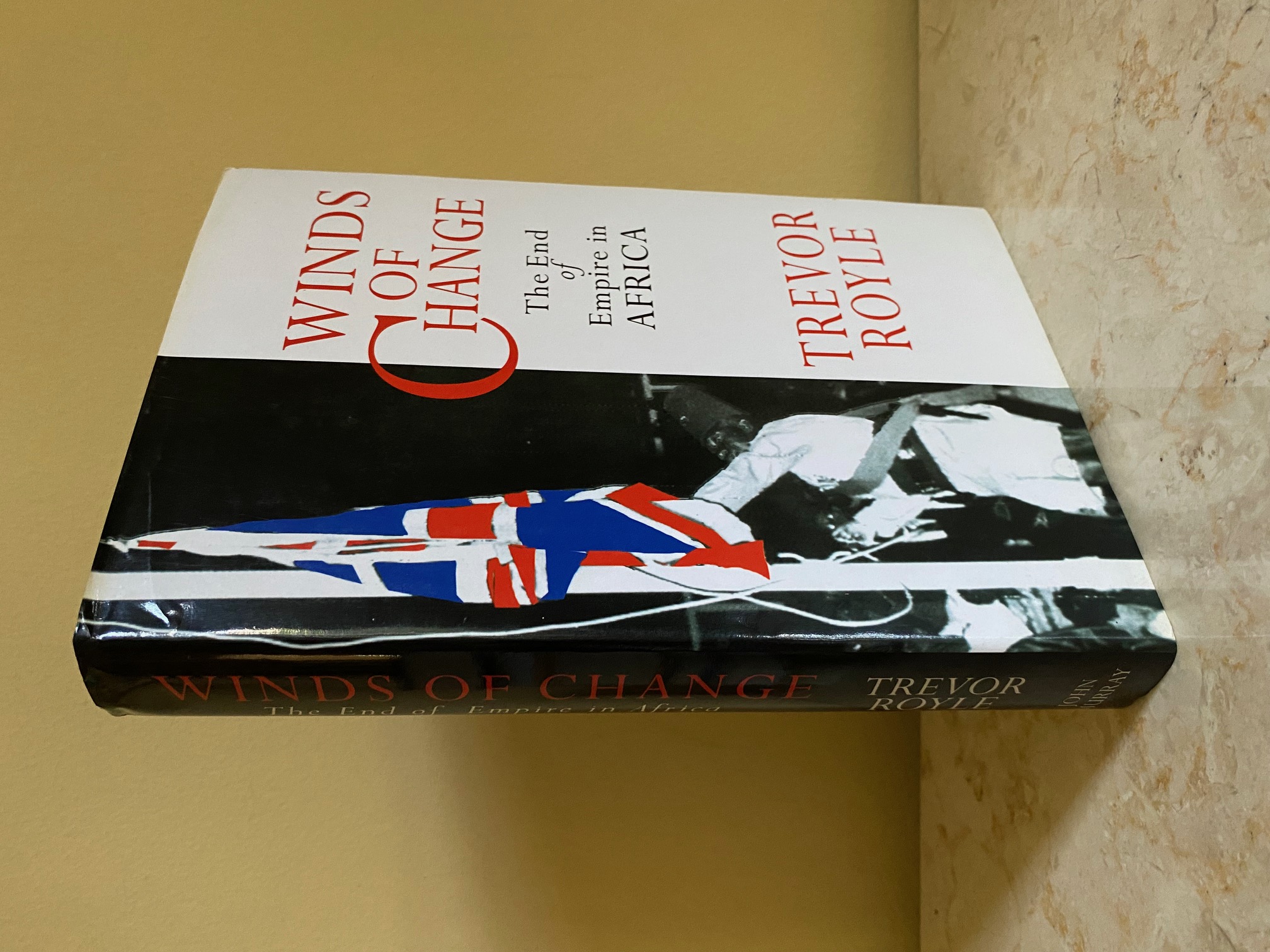
Winds of Change; The End of Empire in Africa
Royle, Trevor(Book #ID 111956)
Published by John Murray, 50 Albemarle Street, London First Edition 1996. 1996.
First edition hard back binding in publisher's original black paper covered boards, blocked and lettered gilt back. 8vo. 9½'' x 6¼''. Contains 308 pp with monochrome double-page map frontispiece and archive photographs to the centre. Fine condition book in Fine condition dust wrapper, not price clipped. Dust wrapper supplied in archive acetate film protection. Member of the P.B.F.A. ISBN 0719553520
Click here to select books from the
BRITISH IMPERIAL EMPIRE Category
£11.00
His Royal Highness the Duke of Edinburgh's Study Conference on the Human Problem of Industrial Communities Within the Commonwealth and Empire 9-26 July 1956; Volume II Background Papers Appendixes and Index
His Royal Highness The Duke of Edinburgh(Book #ID 50900)
Published by Oxford University Press, Amen House, London First Edition 1957. London 1957.
First edition hard back binding in publisher's original navy cloth covers, gilt title and author lettering to the spine and the upper panel. 8vo. 10'' x 6¼''. Contains [xvi] 339 printed pages of text. Small bumps to the spine ends, without any ownership markings and in Very Good clean condition, no dust wrapper. Member of the P.B.F.A.
Click here to select books from the
BRITISH IMPERIAL EMPIRE Category
£20.00
The Great Accomplishment; The contribution of five English women to 18th century colonisation
Mackenzie-Grieve, Averil(Book #ID 52591)
Published by Geoffrey Bles, 52 Doughty Street, London First Edition 1953. London 1953.
First edition hard back binding in publisher's original aqua cloth covers, silver title and author lettering to the spine. 8vo. 8½'' x 5½''. Contains [xiii] 290 printed pages of text with monochrome illustrations throughout. Without any ownership markings. Fine condition book, in Very Good condition dust wrapper with small rubs to the spine ends and top edges, surface marks to the rear panel, not price clipped. Dust wrapper supplied in archive acetate film protection, this protects and prolongs the life of the paper, it is not adhered to the book or to the dust wrapper. Member of the P.B.F.A.
Click here to select books from the
BRITISH IMPERIAL EMPIRE Category
£12.50
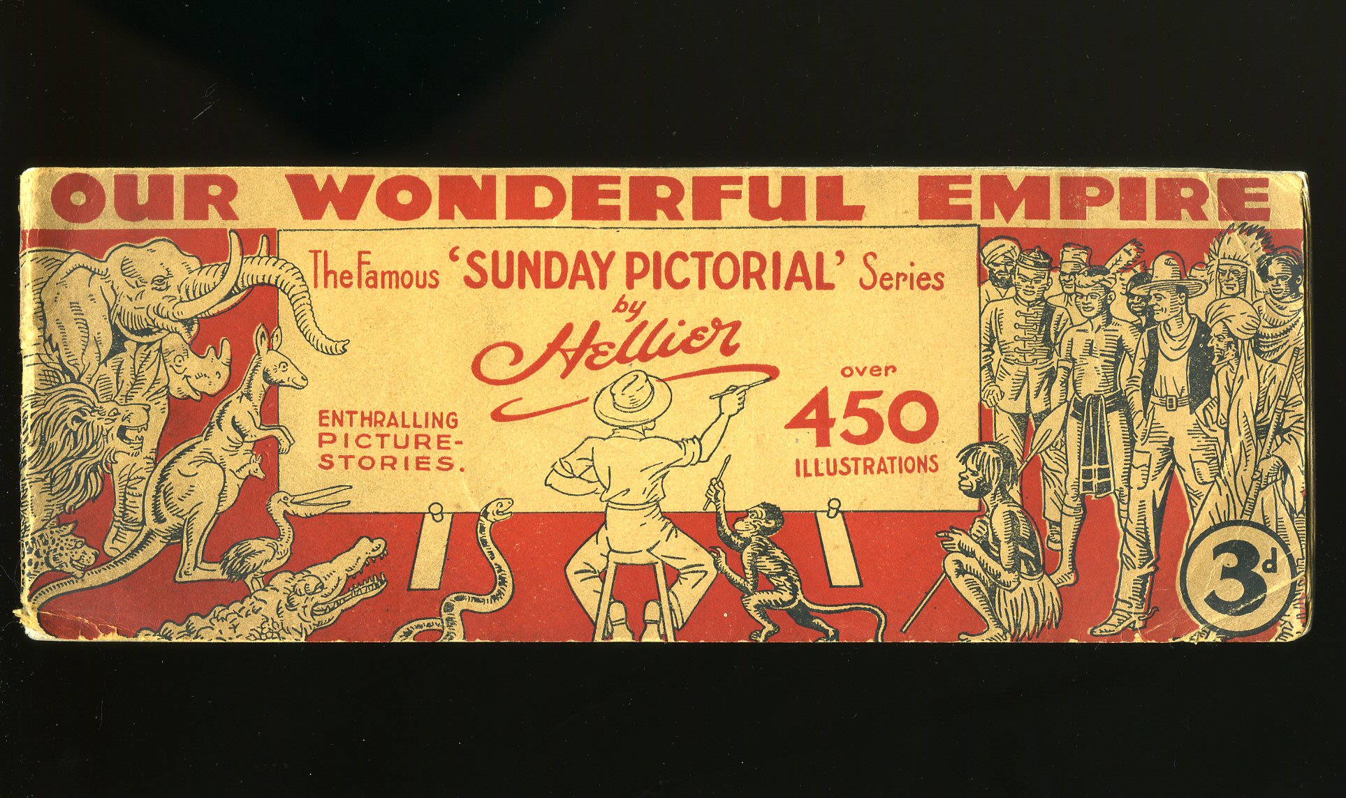
Our Wonderful Empire; The Famous Sunday Pictorial Series
Hellier(Book #ID 54463)
Published by Sunday Pictorial Newspapers Ltd., London circa 1925. 1925.
Publisher's original stapled red illustrated card wrap covers. Landscape 4'' x 11¼''. Contains 50 printed pages of text with 450 monochrome illustrations throughout. Corners slightly turned-up, without any ownership markings and in Very Good condition, priced 3d to the front cover, no dust wrapper as published. Member of the P.B.F.A.
Click here to select books from the
BRITISH IMPERIAL EMPIRE Category
£15.00
The British Dominions Year Book 1917
Edward Salmon and James Worsfold (Edited by) The British Dominions General Insurance Co. Ltd., (Book #ID 108702)
Published by The British Dominions General Insurance Co. Ltd., British Dominions House, Royal Exchange Avenue, London First Edition 1917. 1917.
First edition hard back binding in publisher's original blue cloth covered boards, blocked and lettered in silver and black. 8vo. 8½'' x 5½''. Contains 384 pp with colour plates and folding maps throughout. Spine sun faded, marks to the covers, age tanned end papers. Member of the P.B.F.A.
Click here to select books from the
BRITISH IMPERIAL EMPIRE Category
£8.00
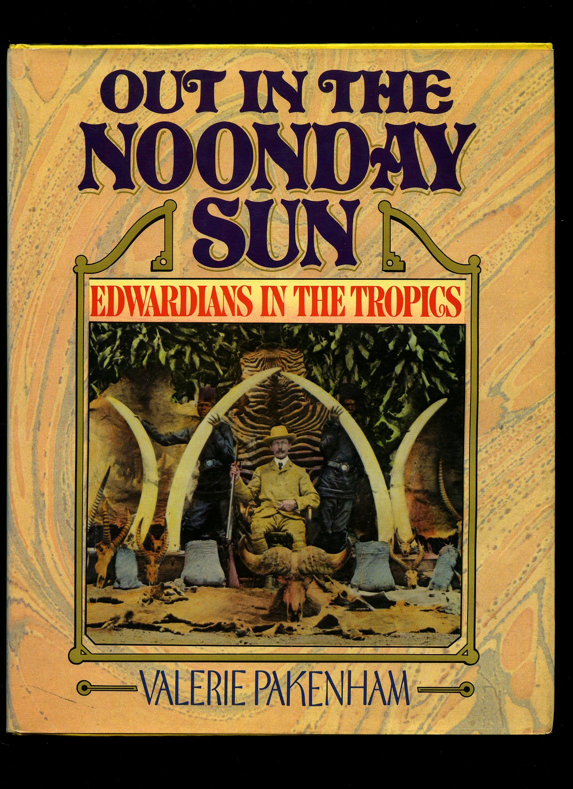
Out In The Noonday Sun; Edwardians in The Tropics
Pakenham, Valerie(Book #ID 59831)
Published by Random House Inc., New York First US Edition 1985. New York 1985.
First US edition hard back binding in publisher's original bright lemon covers, gilt title and author lettering to the spine. Quarto 10'' x 8''. Contains 255 printed pages of text with monochrome illustrations and photographs throughout, illustrated end papers. Minimal wear to the lower edges. Near Fine condition book in near Fine condition illustrated dust wrapper with just a little sun fading to the spine, price clipped. Dust wrapper supplied in archive acetate film protection, this preserves and prolongs the life of the paper, it is not adhered to the book or to the dust wrapper. Member of the P.B.F.A. ISBN 0394522567
Click here to select books from the
BRITISH IMPERIAL EMPIRE Category
£11.00
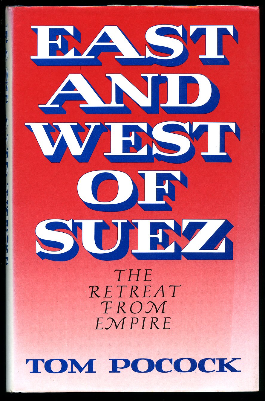
East and West of Suez; The Retreat From Empire
Pocock, Tom(Book #ID 87697)
Published by The Bodley Head, 30 Bedford Square, London First Edition 1986. 1986.
First edition hard back binding in publisher's original midnight blue paper covered boards, gilt title and author lettering to the spine. 8vo. 9'' x 6''. Contains 208 printed pages of text with monochrome photographs throughout. Age darkening to the closed edges. Very Good condition book in Very Good condition dust wrapper with sun fading to the red of the spine, not price clipped. Dust wrapper supplied in archive acetate film protection, it does not adhere to the book or to the dust wrapper. Member of the P.B.F.A. ISBN 0370306155
Click here to select books from the
BRITISH IMPERIAL EMPIRE Category
£11.00
Britain and the Beast
Howard, Peter(Book #ID 64181)
Published by William Heinemann Ltd, London First Edition 1963. London 1963.
First edition hard back binding in publisher's original cerise cloth covers, gilt title and author lettering to the spine. 8vo. 7½'' x 5¼''. Contains 128 printed pages of text. Fine condition book in Near Fine condition dust wrapper with small chip to the top of the spine corner, short closed tear to the top of the lower cover, not price clipped 10s. 6d. Dust wrapper supplied in archive acetate film protection, this preserves and prolongs the life of the paper, it is not adhered to the book or to the dust wrapper. Member of the P.B.F.A
Click here to select books from the
BRITISH IMPERIAL EMPIRE Category
£6.00
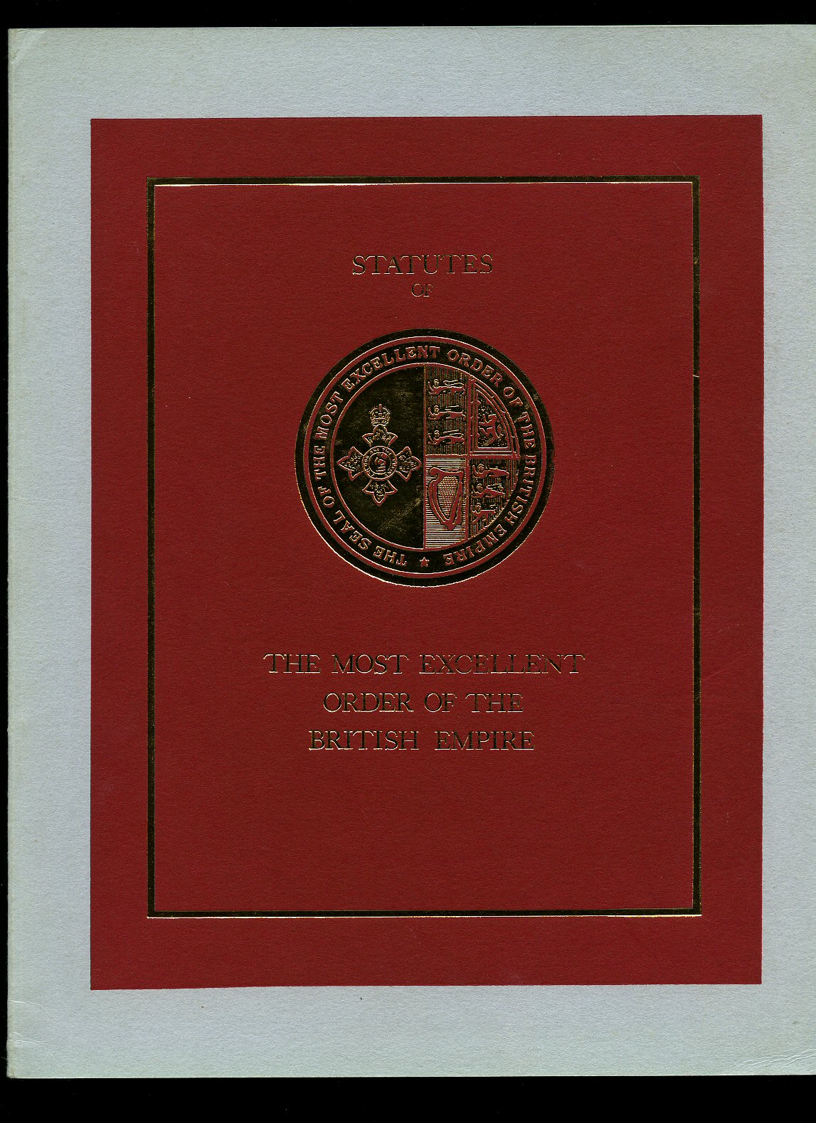
Statutes of The Most Excellent Order of the British Empire
(Book #ID 64472)
Printed 1970. 1970.
Publisher's original embossed gilt card wrap covers. Folio. 11½'' x 8½''. Contains 45 printed pages of text with monochrome photographs to the rear. In Fine condition, no dust wrapper as published. Member of the P.B.F.A.
Click here to select books from the
BRITISH IMPERIAL EMPIRE Category
£8.00
The Duke of Puddle Dock in the Footsteps of Stamford Raffles
Barley, Nigel(Book #ID 84012)
Published by Viking, Penguin Books Ltd., 27 Wrights Lane, London First Edition 1991. London 1991.
First edition hard back binding in publisher's original blue paper covered boards, silver title and author lettering to the spine. 8vo. 9½'' x 6¼''. Contains 276 printed pages of text with monochrome illustrations and photographs to the centre. Light marking to the top edge. Near Fine clean condition book in near Fine condition price clipped dust wrapper with light rubs and creases. Dust wrapper supplied in archive acetate film protection, it does not adhere to the book or to the dust wrapper. Member of the P.B.F.A. ISBN 0670836427
Click here to select books from the
BRITISH IMPERIAL EMPIRE Category
£9.00
Kitchener | Portrait of an Imperialist (Grey Arrow)
Magnus, Philip [Field Marshal Horatio Herbert Kitchener, 1st Earl Kitchener, KG, KP, GCB, OM, GCSI, GCMG, GCIE, PC (24 June 1850 - 5 June 1916) was a senior British Army officer and colonial administrator who won notoriety for his imperial campaigns].(Book #ID 109040)
Published by Arrow Books Ltd., | Grey Arrow | 178-202 Great Portland Street, London First Grey Arrow Edition 1961. 1961.
Mass market paperback. 12mo. 7'' x 4¼''. Contains 391 pp with monochrome archive photographs grouped together to the centre pages and in Good condition. Member of the P.B.F.A.
Click here to select books from the
BRITISH IMPERIAL EMPIRE Category
£6.00
King Edward's Realm; The Story of the Making of the Empire
Dawe, Reverend C. S.(Book #ID 77056)
Published by The Educational Supply Association Ltd., Holborn Viaduct, London 1902. 1902.
First edition hard back binding in publisher's original scarlet cloth covers, gilt title lettering to the upper panel. 8vo. 7'' x 5''. Contains [vi] 224 printed pages of text with monochrome illustrations and maps throughout. Splendid colour book plate to the front free end paper 'A Souvenir of the Coronation of King Edward VII, June 26th 1902.' Light rubbing to the corners and spine ends, without any ownership markings and in Very Good clean condition. Member of the P.B.F.A.
Click here to select books from the
BRITISH IMPERIAL EMPIRE Category
£11.00
Eyewitness to Trafalgar 1800-1808
Hiskisson, Thomas(Book #ID 76180)
Published by Ellisons' Editions First Edition 1985. 1985.
First edition in publisher's original blue card wrap covers [softback]. 8vo. 8½'' x 6''. Contains 112 printed pages of text with monochrome illustrations throughout. Hand written number 338 of 1000 Limited Edition copies. Minimal marking to the closed page edges, light rubs and in near Fine condition, no dust wrapper as published. Member of the P.B.F.A. ISBN 0946092095
Click here to select books from the
BRITISH IMPERIAL EMPIRE Category
£25.00
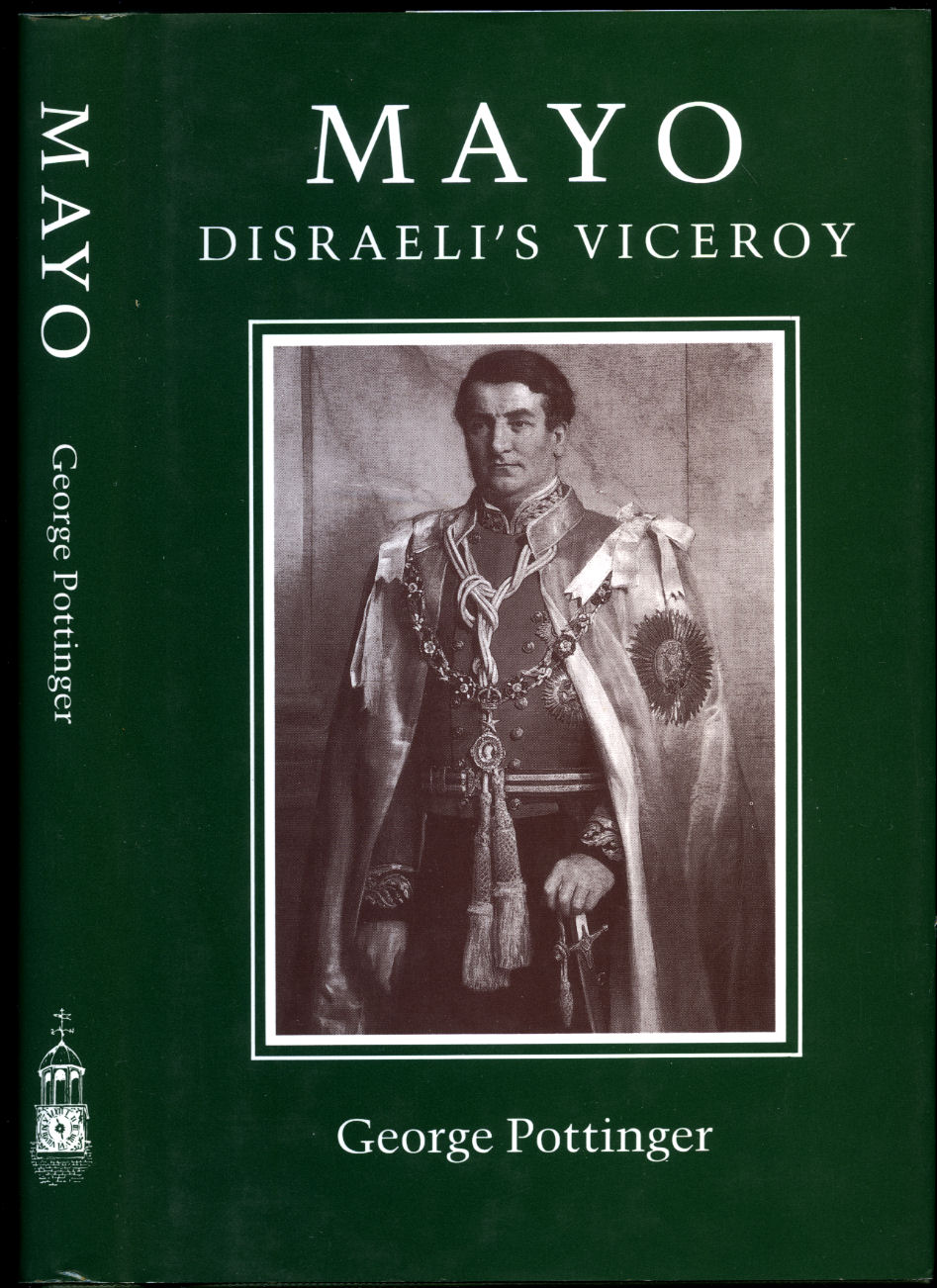
Mayo; Disraeli's Viceroy
Pottinger, George [Jacket Design by Humphrey Stone](Book #ID 97611)
Published by Michael Russell (Publishing) Ltd., Wilton, Salisbury, Wiltshire First Edition 1990. 1990.
First edition hard back binding in publisher's original forest green papers covered boards, gilt title and author lettering to the spine. 8vo. 8½'' x 5½''. Contains 224 printed pages of text. Fine condition book in Fine condition dust wrapper, not price clipped. Dust wrapper supplied in archive acetate film protection. Member of the P.B.F.A. ISBN 0859551644
Click here to select books from the
BRITISH IMPERIAL EMPIRE Category
£11.00
Browse our
Book Categories
AEROPLANES (236)
AFGHANISTAN (15)
AFRICA [Ethiopia] (20)
AFRICA [Ghana] (15)
AFRICA [Kenya] (19)
AFRICA [Malawi] (3)
AFRICA [Mali] (6)
AFRICA [Mozambique] (4)
AFRICA [Nigeria] (13)
AFRICA [Tanzania] (12)
AFRICA [Uganda] (14)
AFRICA [Zambia] (9)
AFRICAN CONTINENT (81)
AGRICULTURE & FARMING (175)
ALBANIA (5)
AMERICA [Civil War] (39)
AMERICA [History] (295)
AMERICA [Indian History] (83)
AMERICA [Literature] (186)
AMERICA [World War II] (25)
ANDERSEN, Hans Christian (17)
ANGLING & SPORT FISHING (130)
ANIMAL SCIENCES (22)
ANNUALS & YEARBOOKS (144)
AQUARIUM & TROPICAL FISH (10)
ARBORICULTURE (38)
ARCHAEOLOGY (413)
ARCHAEOLOGY (Industrial) (33)
ARCHAEOLOGY (Roman Britain) (102)
ARCHAEOLOGY (Scotland) (158)
ARCHITECTURE (399)
ARDIZZONE, Edward (1900-1979) (123)
ARGENTINA (9)
ARMENIA (6)
ART & CRAFT [Japanese] (48)
ART [American] (74)
ART [Applied] (34)
ART [Australian] (14)
ART [Austrian] (8)
ART [British] (352)
ART [Chinese] (38)
ART [Flemish and Dutch] (79)
ART [French] (141)
ART [German] (64)
ART [Indian] (11)
ART [Italian] (79)
ART [Nouveau and Deco] (28)
ART [Russian] (23)
ART [Spanish] (39)
ART [Surrealism] (42)
ART [Technique & Materials] (145)
ARTILLERY, ARMS & ARMOUR (31)
ASIAN CONTINENT (48)
ASTÉRIX French Comic Series (19)
ASTRONAUTICS (17)
ASTRONOMY & COSMOLOGY (69)
AUSTEN, Jane (1775-1817) (25)
AUSTRALIA (Terra Australis) (90)
AUSTRIA (25)
AVIATION & AERONAUTICS (226)
AZERBAIJAN (5)
BALKANS (16)
BALLET & BALLERINAS (39)
BATES, H. E. (1906-1974) (192)
BATTLE OF BRITAIN (87)
BEDFORDSHIRE (18)
BEEKEEPING & APIARISTS (42)
BELGIUM (Gallia Belgica) (26)
BERKSHIRE (Bearroc) (30)
BICYCLES & CYCLING (11)
BIO (Résumé, Memoir) (1032)
BIOLOGY (66)
BLACKSMITHING (9)
BLYTON, Enid (1897-1968) (109)
BOLIVIA (3)
BOOKMARKS (218)
BOOKS (Binding, Collecting, Printing, Paper) (173)
BORNEO | SUMATRA | JAVA (7)
BOTANY (Phytology) (150)
BOY SCOUTS & GIRL GUIDES (45)
BOY'S OWN PAPER (167)
BRAZIL (Brasil) (18)
BRENT-DYER, Elinor M. (14)
BRIDGE, CHESS & GAMES (88)
BRIDGES & TUNNELS (32)
BRITAIN IN PICTURES (172)
BRITISH IMPERIAL EMPIRE (42)
BRITISH PREHISTORY (80)
BROADSHEETS (241)
BRONTË SISTERS (20)
BUCKINGHAMSHIRE (29)
BUDDHISM, HINDU, DHARMA (31)
BUILDING CONSTRUCTION (66)
BULLFIGHTING (Toreo) (12)
BURMA, BURMESE (Myanmar) (104)
BUSES & COACHES (142)
BUSINESS (Leadership) (81)
CAGE & AVIARY BIRDS (56)
CAMBRIDGESHIRE (32)
CAMPAIGN MEDALS (19)
CAMPANOLOGY (1)
CANADA (History & Culture) (110)
CANAL BARGES & WATERWAYS (57)
CANARY ISLANDS (7)
CARAVANS & DORMOBILES (14)
CARPENTRY & D.I.Y. (59)
CARPETS & ORIENTAL RUGS (17)
CARROLL, Lewis (1832-1898) (14)
CARTOGRAPHY, MAPS, PLANS (144)
CATS [Pedigree Domestic Pets] (115)
CENTRAL AMERICA (35)
CERAMICS & POTTERY (255)
CHANNEL ISLANDS (25)
CHEMISTRY (45)
CHESHIRE (Palatine of Chester) (26)
CHILDREN'S & JUVENILE (2153)
CHILE (13)
CHINA & CHINESE HISTORY (114)
CHIVALRY & KNIGHTHOOD (21)
CHRISTIE, Agatha (1890-1976) (19)
CHURCHILL, Winston L. S. (82)
CIGARETTE & TEA CARDS (63)
CINEMA [Front of House Press Photograph] (101)
CINEMA, SCREEN & FILMS (259)
CIRCUS & FAIRGROUNDS (27)
CLIMATOLOGY & WEATHER (18)
COLOMBIA (12)
COMMERCIAL VEHICLES (37)
COMMUNISM (24)
CONCORDE (British Airways) (30)
COOK, Captain James (5)
CORNWALL (Kernow) (101)
COUNTY DURHAM (32)
CRETE (Kriti | Krete) (10)
CRIMEA and GEORGIA (23)
CROSBY, Bing (1903-1977) (195)
CUBA (Republic of Cuba) (12)
CYPRUS (Republic of Cyprus) (8)
CZECHOSLOVAKIA (61)
DANCING & CHOREOGRAPHY (27)
DECORATIVE ARTS (211)
DEFOE, Daniel (c. 1660-1731) (19)
DEMOGRAPHY (Populations) (38)
DENMARK (Danish Danmark) (20)
DENMARK (Danish | Danmark) (7)
DERBYSHIRE (Peak District) (21)
DETECTIVE | CRIME FICTION (804)
DEVONSHIRE (Dumnonia) (145)
DICKENS, Charles (1812-1870) (55)
DITCHFIELD SERIES (412)
DIVING & SNORKELLING (11)
DOGS (Pedigree Pets) (89)
DOLLS’ HOUSES & DOLLS (43)
DORSET (Durnovaria) (70)
DOYLE, [Sir] Arthur Conan (19)
DRAWING & CRAFTSMANSHIP (106)
ECOLOGY (Earth Science) (47)
ECONOMICS & COMMERCE (278)
ECUADOR (Ecuadorian) (5)
EDUCATION (Teaching) (101)
ELECTRICAL ENGINEERING (62)
ENGINEER (Invent, Innovate) (110)
ENGLAND EXPLORATION (88)
ENGLISH HISTORY (401)
ENGLISH LANGUAGE (114)
ENGLISH LITERATURE (269)
ENTOMOLOGY (95)
ENVIRONMENTAL (55)
EQUINE & EQUESTRIANISM (107)
ESPIONAGE (Clandestine) (93)
ESSEX (Eastseaxe) (70)
ESTONIA, LATVIA & LITHUANIA (8)
ETCHINGS (11)
ETON (Old Etonians) (20)
EUROPE & EUROPEANS (55)
FALKLAND ISLANDS (33)
FASHION (Costume & Millinery) (126)
FEMINISM & FEMINISTS (80)
FINLAND (Suomi, Finnish) (19)
FIREARMS (Defence Weapons) (44)
FIREMEN & FIRE SERVICE (36)
FIRST WORLD (Great) WAR (188)
FLEMING, Ian (1908-1964) (28)
FOLIO SOCIETY (164)
FOOD [Asian & Ethnic] (17)
FOOD [British Cookery] (119)
FOOD [Cuisine Française] (38)
FOOD [Desserts & Pâtisserie] (61)
FOOD [Dietary] (22)
FOOD [Hotels & Restaurants] (34)
FOOD [Retail Brands] (51)
FRANCE [Literature & History) (470)
GAMBLING & BETTING (16)
GARDEN & HORTICULTURE (155)
GENETICS (10)
GEOGRAPHY (Human, Physical) (38)
GERMANY [Language, History] (202)
GERMANY [Luftwaffe & Pilots] (48)
GERMANY [World War II] (83)
GIBRALTAR (11)
GILBERT W. S. & A. SULLIVAN (53)
GLASS (Blowing, Stained) (99)
GLOUCESTERSHIRE (63)
GOVERNMENT & POLITICS (192)
GRAPHIC DESIGN (Visual Arts) (62)
GREECE (Ancient Greek) (134)
GUYANA [Guiana] (2)
GYPSY & ROMANY (7)
HAMPSHIRE (Hantescire) (65)
HANDICRAFTS (Artisanship) (76)
HEBRIDES & ST. KILDA (25)
HENTY, G. A. (1832-1902) (53)
HERALDRY (Armorial Bearings) (54)
HEREFORDSHIRE (15)
HERTFORDSHIRE (44)
HITLER, Adolf (1889-1945) (41)
HONG KONG (18)
HOROLOGY & CHRONOMETRY (45)
HUMOUR (Satire, Cartoon) (407)
HUNGARY (Magyarország) (54)
HUNTS & GAME SHOOTING (104)
I-SPY SERIES (13)
ICELAND (Ísland, Icelandic) (32)
ICHTHYOLOGY (Fish Science) (64)
ILLUSTRATED (Picture Book) (255)
INDIA (Bharat Ganarajya) (200)
INNES, Hammond (1913-1998) (30)
INTERIOR DESIGN (111)
IRAN [Persia] (30)
IRAQ (27)
IRELAND (Éire) (126)
ISLAM (Islamic Art) (42)
ISLE OF LUNDY (8)
ISLE OF MAN (26)
ISLE OF SHEPPEY (9)
ISLE OF SKYE (7)
ISLE OF THANET (34)
ISLE OF WIGHT (45)
ISLES OF SCILLY (9)
ISRAEL (56)
ITALY (History & Culture) (279)
JAPAN (History & Culture) (324)
JAPAN (World War II) (24)
JERUSALEM (26)
JOHNS, Captain W. E. (85)
JORDAN (7)
KAZAKHSTAN (6)
KENT [Airfields and at War] (44)
KENT [Antiquarian] (29)
KENT [Archaeologia Cantiana] (38)
KENT [Ashford] (31)
KENT [Ash] (8)
KENT [Birchington-on-Sea] (8)
KENT [Broadstairs] (5)
KENT [Bromley] (36)
KENT [Bygone Magazine] (30)
KENT [Canterbury] (99)
KENT [Chatham] (15)
KENT [Cinque Ports] (16)
KENT [Deal] (61)
KENT [Dover] (53)
KENT [Elham] (9)
KENT [Faversham] (28)
KENT [Folkestone] (33)
KENT [Fordwich & Sturry] (9)
KENT [Gravesend & Dartford] (13)
KENT [Herne Bay] (26)
KENT [Hops] (15)
KENT [Ickham, Wickhambreaux] (6)
KENT [Maidstone] (35)
KENT [Maps] (27)
KENT [Margate] (27)
KENT [Ramsgate] (27)
KENT [Rochester] (33)
KENT [Romney & Hythe] (43)
KENT [Sandwich] (58)
KENT [Sevenoaks] (24)
KENT [Sittingbourne] (6)
KENT [Stourmouth] (15)
KENT [Tonbridge] (11)
KENT [Topography] (159)
KENT [Tunbridge Wells] (47)
KENT [Weald] (18)
KENT [Whitstable] (17)
KENT [Wingham] (14)
KENT [Wye] (6)
KEYBOARD INSTRUMENTS (56)
KING PENGUIN (Series) (74)
KIPLING, Rudyard (1865-1936) (28)
KOREA (History and Culture) (61)
LADYBIRD SERIES (13)
LAKE DISTRICT (61)
LANCASHIRE (64)
LATIN (44)
LAW, JUSTICE, LEGAL SYSTEM (82)
LEBANON (6)
LEICESTERSHIRE (22)
LIGHTHOUSES (14)
LINCOLNSHIRE (107)
LINGUISTICS (14)
LITERARY CRITICISM (103)
LITERATURE 1900-1925 (377)
LITERATURE 1926-1945 (512)
LITERATURE 1926-1945 (1)
LITERATURE BEFORE 1800 (16)
LIVERPOOL (30)
LONDON (Londinium) (490)
LONDON (Postcards) (56)
MADAGASCAR (Madagasikara) (4)
MAGIC & CONJURING (980)
MALAYSIA (History & Culture) (42)
MALTA (Maltese History) (25)
MAURITIUS (Mascarenhas) (20)
MAYERL, Billy (1902-1959) (138)
MECCANO MAGAZINE (89)
MEDICINE & HEALTH (196)
METALLURGY (45)
MEXICO (44)
MICROBIOLOGICAL (24)
MIDDLESEX (Middleseaxan) (20)
MILITARY (Armed Warfare) (170)
MILLIGAN, Spike (1918-2002) (162)
MINING & GEOLOGY (112)
MINING INDUSTRY CORNWALL (12)
MINING INDUSTRY WALES (25)
MISSIONARY (Proselytism) (68)
MODERN FIRST EDITIONS (2890)
MONARCHY (143)
MONGOLIA (24)
MONTHLY TRACT SOCIETY (80)
MOTOR BIKES (80)
MOTORING, SPORTS CARS (433)
MOUNTAINEERING (86)
MUSIC [Classical] (517)
MUSIC [Jazz] (43)
MUSIC [Rock & Pop] (79)
MYSTICISM (UFO's, Folklore) (45)
MYTHOLOGY & LEGENDS (73)
NAPOLÉON Bonaparte (43)
NATURAL HISTORY (136)
NAUTICAL (Shipbuilding) (106)
NEEDLEWORK & TEXTILES (291)
NELSON, Horatio (1758-1805) (22)
NETHERLANDS (Holland) (58)
NEW NATURALIST (Series) (145)
NEW ZEALAND (Aotearoa) (36)
NEWSPAPERS (87)
NINETEENTH CENTURY (483)
NORFOLK (Norfolcia) (82)
NORTH AFRICA [Algeria] (6)
NORTH AFRICA [Egypt] (140)
NORTH AFRICA [Libya] (15)
NORTH AFRICA [Morocco] (26)
NORTH AFRICA [Sahara] (12)
NORTH AFRICA [Sudan] (139)
NORTH AFRICA [Tunisia] (6)
NORTHAMPTONSHIRE (9)
NORTHUMBERLAND (55)
NORWAY & NORWEGIAN (57)
NOTTINGHAMSHIRE (14)
NUMISMATICS (Currency) (25)
NUTRITION (Nutrients) (108)
OBSERVER’S (Series) (386)
OCCULT (Spirituality) (24)
OIL & PETROL INDUSTRY (43)
OMAN (4)
OPERA (58)
OPPENHEIM, E. P. (1866-1946) (79)
ORKNEY & SHETLAND (10)
ORNITHOLOGY (184)
OXENHAM, Elsie Jeanette (13)
OXFORDSHIRE (Oxonium) (35)
PACIFIC (Oceania) (34)
PAKISTAN (14)
PALAEONTOLOGY (23)
PALESTINE (19)
PAPERBACKS (268)
PAPUA NEW GUINEA (12)
PERU (24)
PHILATELY (Postal History) (33)
PHILOSOPHY (199)
PHOTOGRAPHS (61)
PHOTOGRAPHY (135)
PHYSICS (61)
PICTURE COMICS (2041)
PIERS, PAVILIONS & SEASIDE (25)
PIPE, CIGAR & MATCHES (18)
PLAYS (Theatre Performance) (230)
POETRY, VERSE & RHYMES (862)
POLAND & POLISH HISTORY (52)
POLAR [Antarctic] (39)
POLAR [Arctic] (33)
POLICE & PRISONS (43)
POP-UP MOVABLE BOOKS (43)
PORTUGAL & PORTUGUESE (21)
POSTCARDS (124)
POTTER, Beatrix (1866-1943) (26)
PRINTS (39)
PROOF COPY (Advance) (85)
PSYCHIATRY (14)
PSYCHOLOGY (Behaviour) (149)
RADIO [Wireless Telephony] (86)
RAILWAYS & LOCOMOTIVES (533)
RELIGIOUS PAMPHLETS (158)
RELIGIOUS TRACT SOCIETY (173)
ROBIN HOOD BOOKS (12)
ROMAN EMPIRE (Romanum) (154)
ROMANIA [Roumania] (7)
ROWLING, J. K., (6)
ROYAL AIR FORCE (RAF) (155)
ROYAL NAVY (RN) (88)
Rubáiyát of Omar Khayyám (228)
RURAL VILLAGE LIFE (262)
RUSSIAN & SOVIET HISTORY (101)
RUSSIAN [Language] (26)
RUSSIAN [Literature] (28)
RUSSIAN [Military] (22)
SAILING BOATS (Yachting) (114)
SAS & COMMANDOES (24)
SAUDI ARABIA (Arabian) (49)
SAVILLE, Malcolm (1901-1982) (20)
SCIENCE FICTION (68)
SCIENCE FICTION MAGAZINES (629)
SCOTLAND (Gaelic: Alba) (341)
SCOTLAND YARD (6)
SCRAPBOOK (Victorian Cuttings) (5)
SEXTON BLAKE LIBRARY (184)
SEYCHELLES (1)
SHAKESPEARE, William (110)
SHEET MUSIC (1582)
SHIPPING (Liners, Merchant) (208)
SHORT STORIES (Novella) (217)
SHROPSHIRE (Salop) (12)
SIBERIA (Sibir, Siberian) (5)
SICILY (Regione Siciliana) (23)
SLAVERY & TORTURE (9)
SLOVAKIA (Slovenská republika) (7)
SMUGGLING & HIGHWAYMEN (23)
SOCIAL & HUMANITIES (296)
SOCIALISM (Social Democracy) (20)
SOMERSET (Sumortunsæte) (52)
SOUTH AFRICA (Zuid-Afrika) (124)
SPAIN & SPANISH HISTORY (87)
SPANISH CIVIL WAR (22)
SPECIAL OPERATIONS [S.O.E.] (21)
SPORT [Archery] (14)
SPORT [Athletics] (11)
SPORT [Badminton] (3)
SPORT [Billiards & Snooker] (9)
SPORT [Bodybuilding] (30)
SPORT [Bowls & Bowling] (8)
SPORT [Boxing] (41)
SPORT [Cricket] (412)
SPORT [Croquet] (3)
SPORT [Fencing] (6)
SPORT [Football] (333)
SPORT [Golf] (321)
SPORT [Greyhounds] (69)
SPORT [Hockey & Lacrosse] (7)
SPORT [Horse Racing] (144)
SPORT [Lawn Tennis] (71)
SPORT [Netball] (4)
SPORT [Olympics] (16)
SPORT [Polo] (7)
SPORT [Rugby] (33)
SPORT [Self Defence] (25)
SPORT [Skating] (2)
SPORT [Skiing] (8)
SPORT [Speedway] (16)
SPORT [Squash] (5)
SPORT [Swimming] (8)
SRI LANKA [Ceylon] (9)
STAFFORDSHIRE (14)
STAGE & THEATRE (182)
STEVENSON, Robert Louis (43)
STORIES FOR BOYS (449)
STORIES FOR GIRLS (244)
STRUWWELPETER (12)
SUBMARINES (34)
SUFFOLK (Suffolcia) (36)
SURREY (Suthrige) (105)
SURVIVAL TECHNIQUES (8)
SUSSEX (Suth-Seaxe) (144)
SUSSEX [Bexhill-on-Sea] (11)
SUSSEX [Brighton & Hove] (32)
SUSSEX [Eastbourne] (25)
SUSSEX [Hastings] (62)
SUSSEX [Rye & Winchelsea] (25)
SWEDEN (History & Culture) (44)
SWITZERLAND (Culture) (39)
SYKES, Eric (1923-2012) (23)
SYRIA (History and Culture) (9)
TECHNOLOGY (Industrial Arts) (83)
TELECOMMUNICATIONS (48)
TELEVISION ENGINEERING (50)
TERRORISM (17)
THAILAND [Siam] (18)
The B.B.C. (Broadcasting) (86)
THEATRE (Cinema) POSTERS (124)
THEATRE PROGRAMMES (1119)
THEOLOGY & RELIGION (802)
TIBET (Qing Dynasty) (18)
TITANIC (White Star Line) (25)
TOWN & RURAL PLANNING (39)
TOY & MODEL MAKING (170)
TRACTION STEAM ENGINES (29)
TRAMS & TROLLEYBUSES (94)
TRUE CRIME (133)
TUGS AND TOWING (17)
TURKEY (History and Culture) (27)
UKRAINE (6)
UNIFORMS & BADGES (22)
UTTLEY, Alison (1884-1976) (22)
UZBEKISTAN (5)
VETERINARY MEDICINE (9)
VICTORIA CROSS AWARDS (45)
VIETNAM (History & Culture) (29)
VINYL RECORDS 45 r.p.m. (19)
WALES & WELSH LITERATURE (206)
WARWICKSHIRE (Wæringscir) (41)
WAYSIDE WOODLAND (Series) (109)
WEST INDIES [Caribbean] (28)
WESTERNS [U.S.A Old West] (118)
WHALING & WHALES (17)
WILTSHIRE (Wiltunscir) (33)
WIND & WATERMILLS (31)
WINES, BEERS & SPIRITS (76)
WOODCUTS & ENGRAVINGS (36)
WORCESTERSHIRE (8)
WORLD WAR II (Second) (460)
YORKSHIRE (Jórvík) (195)
YUGOSLAVIA (16)
ZEPPELINS, AIRSHIPS & BALLOONING (37)
ZOOLOGY (Animal Biology) (64)
top of page


![Unity National and Imperial [Signed]](covers/804.jpg)
![British History: A Survey of the History of all the British Peoples. Two Parts: Part I The Peoples of the Islands [to 1485]. Part II Empire and Liberty [1485-1714] [Two Volumes]](covers/13609.jpg)



![The General Gazetteer; or, Compendious Geographical Dictionary Containing a Description of the Empires, Kingdoms, States, Provinces, Cities, Towns, Forts, Seas, Harbours, Rivers, Lakes, Mountains, Capes in the Known World [1]](covers/30252.jpg)
![The General Gazetteer; or, Compendious Geographical Dictionary Containing a Description of the Empires, Kingdoms, States, Provinces, Cities, Towns, Forts, Seas, Harbours, Rivers, Lakes, Mountains, Capes in the Known World; with The Government, Customs, Manners, and Religion of the Inhabitants [2]](covers/30253.jpg)

![British Social Life in India, 1608-1937 [Signed]](covers/41957.jpg)
![Empire to Welfare State; English History 1906-1985 [Third Edition]](covers/37885.jpg)
![Thoughts on Imperial and Social Subjects [Signed]](covers/38402.jpg)

![Evolution and Empire [Signed]](covers/41311.jpg)
